Boston Fenway-Kenmore Cultural Assets MapDownload the Fenway-Kenmore cultural assets map
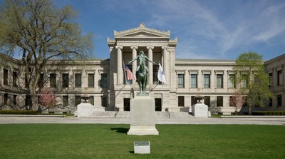
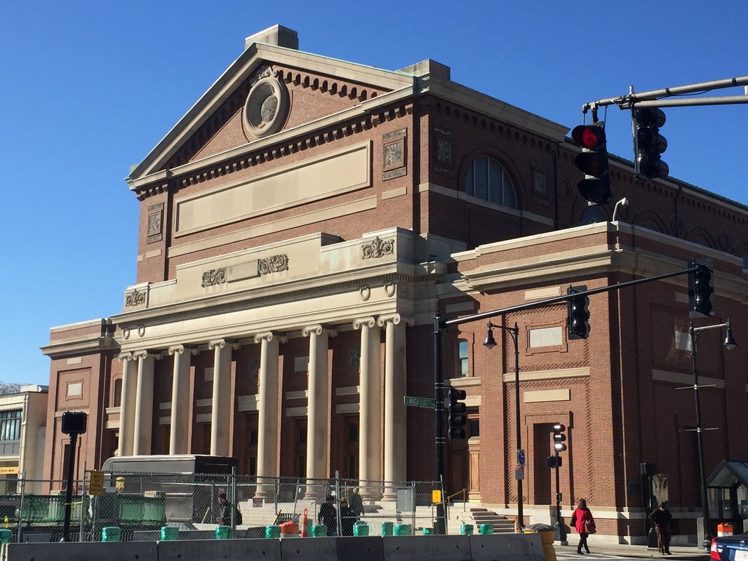
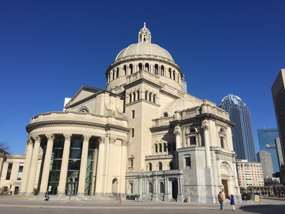
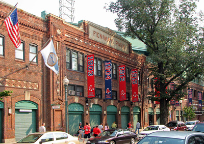
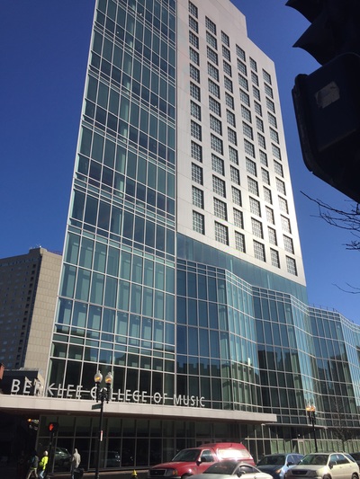
Download the Fenway-Kenmore cultural assets list The Fenway area is named after the main thoroughfare laid out by Frederick Law Olmsted in the late 19th century, a mostly one-way, one- to three-lane parkway that runs along the southern and eastern edges of The Back Bay Fens, which include the Kenmore Square area. The large number of cultural institutions there led to the establishment of the Fenway Cultural District in 1998, the first official such district officially named by the Commonwealth of Massachusetts. The Massachusetts Cultural Council defines a cultural district as “a specific geographical area in a city or town that has a concentration of cultural facilities, activities, and assets. It is a walkable, compact area that is easily identifiable to visitors and residents and serves as a center of cultural, artistic and economic activity.” The Fenway-Kenmore cultural assets were mapped in the following categories: (1) architecture, specifically cultural facilities and academic institutions, (2) public art, (3) green/open spaces, and (4) access, featuring all modes of transportation including parking and bicycle hub stations. Created in partnership with the Fenway Alliance and the Fenway Community Development Corporation. |
|
|
|
DESIGNERS
A. Parks and Open Space & Graphic Design Hailey Cyr, Val Maccarone, Paula McKane, Sarah St Onge B. Cultural Facilities & Interactive Google Map Matt Gallagher, Chad Laroche, Kyle Savoie, Zack Whitehouse C. Academic Institutions & Cultural Assets Spreadsheet Siobahn Baker, Carli Dantas, Kiera Gates, Kamille Hampton, Kate Lee D. Public Art & Web Publishing Connor Judd, Erin McKinnon, Alex Roberts, Matt Vocatura E. Access & Tours Mike Celmer, Thomas Darr, Chris Drinan, Stefanus Tedy OBJECTIVES
Ella Epshteyn. "Making of an EPIC Course," Wentworth Institute of Technology: Perspectives in Teaching & Learning Blog. Feb. 3, 2016. |
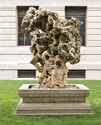
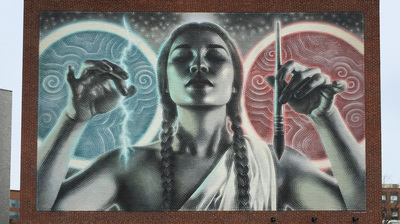
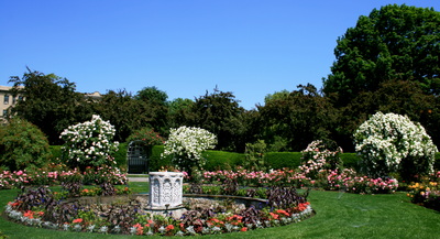
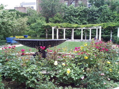
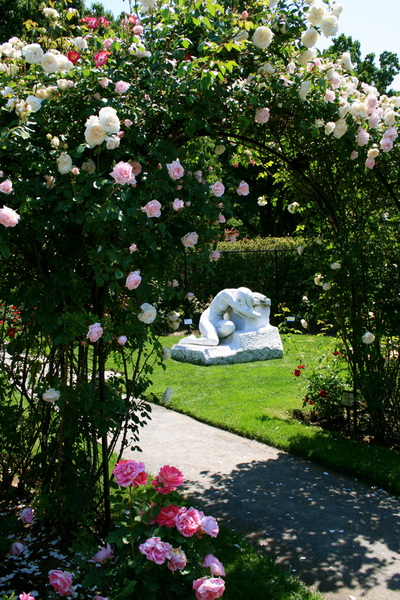
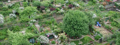
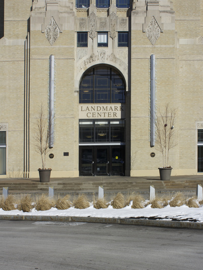
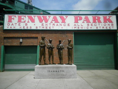
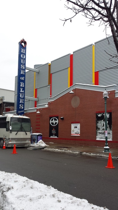
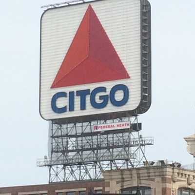
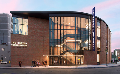
Gallery | Click on individual images to download illustrated essays on select sites.
Contact Us |
Please email us for information on the cultural assets mapping project. |