Boston Fort Point & Seaport Cultural Assets MapDownload the Boston Fort Point and Seaport cultural assets map
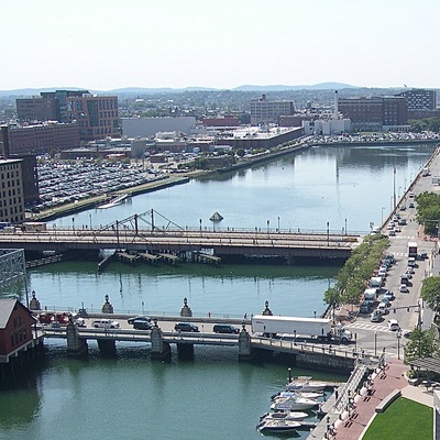
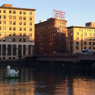
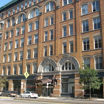
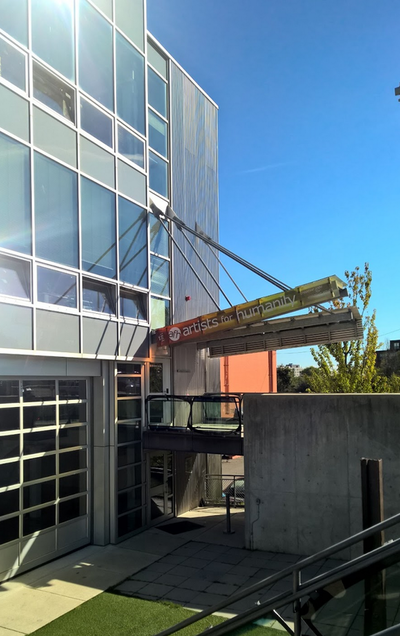
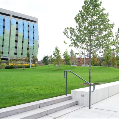
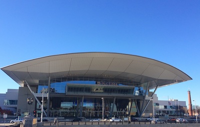
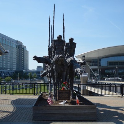
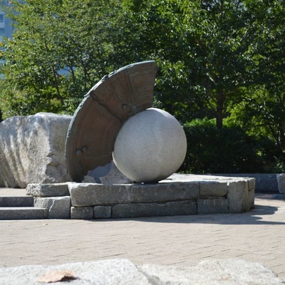
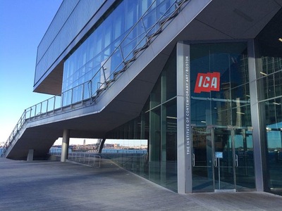
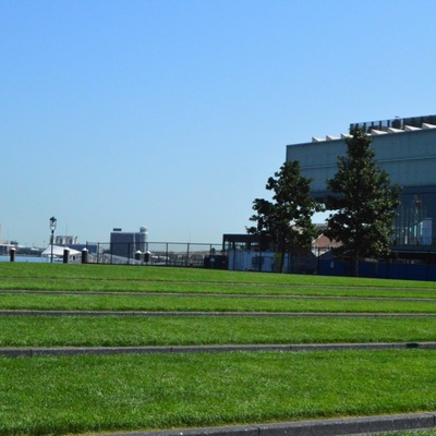
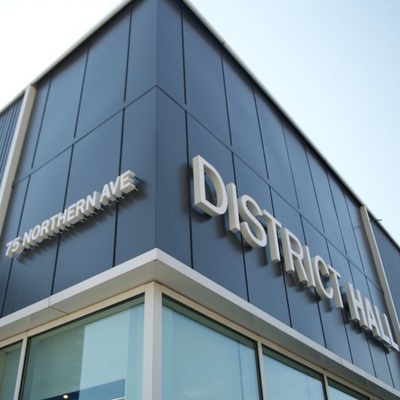
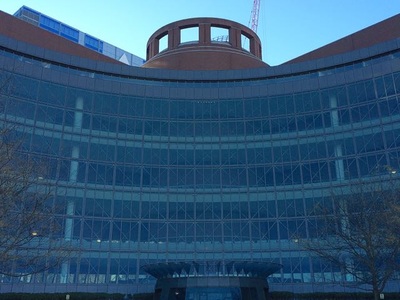
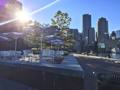
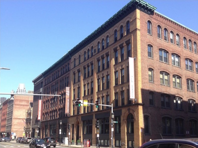
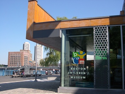
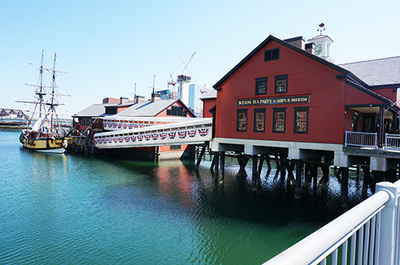
Download the Fort Point and Seaport District cultural assets list Just one block south of Boston's South Station, the bridges across the Fort Point Channel provide entry to Fort Point and the neighboring Seaport District. In the 19th and early 20th century, this area was the bustling heart of Boston's commercial harbor with a large rail yard on Fan Pier, brick warehouses and commercial buildings catering to the the shipping industry. Today, the districts are distinctly different. Beginning in the late 1970s, one of New England's largest artist communities settled in the then empty warehouses. The Big Dig highway construction project and the new Boston Convention and Exhibition Center brought major infrastructure improvements, leading to intense redevelopment. Fort Point was designated a City of Boston Historic Landmark District in 2008, while the new mixed-use Seaport District began to emerge around the turn of the millennium. To give a better understanding of the area's cultural assets the Fort Point and Seaport District map was created. It offers an overview in five categories: (1) architecture, (2) cultural institutions, (3) public art, (4) green/open spaces, and (5) access, featuring all modes of transportation and parking. Printed copies of the map are available at the offices of the Fort Point Arts Community (FPAC) and the Boston Society of Architects, home of the Friends of Fort Point Channel (FFPC), two community partners. |
|
|
|
DESIGNERS
Eighteen graduate, senior and junior students mapped arts and cultural assets in Fort Point and the Seaport District. The students used Boston as a laboratory following the study of placemaking theory. They documented the area on field trips, conducted research of historic, current and future development, wrote site descriptions and collectively rendered a composite map. A. Access & Print Production Peter Dreher, Aimee Naranjo, Sean Reis B. Historic and Contemporary Architecture & Cultural Assets Spreadsheet Hannah Bailey, Greg McDonnell, Virginia Ofer C. Cultural Facilities & Web Publishing Elias Konstantinidis, Pablo Rivera, Vichitta Srisouraj, Nebia Zeroual D. Parks and Open Space & Map Design Dan Cournoyer, Patrick Grime, Jared Guilmett, Sara Zettler E. Public Art & Graphic Design Aleks Berger, Brendan Bowen, Derek Hill, Dan Quartararo |
Gallery | Click on individual images to download additional information and photo documentation.

Contact Us |
Please email us for information on the cultural assets mapping project. |